Map Systems with Mappa, Leaflet, P5
This example uses the libraries Mappa.js and Leaflet.js together with a GeoJSON data file to construct an interactive map implemented in P5.js.
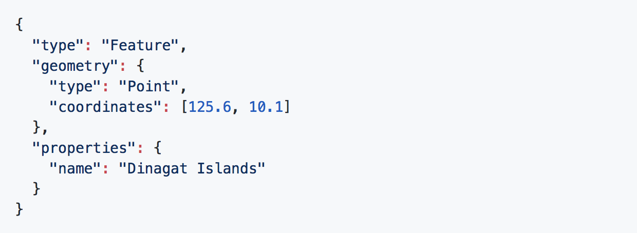
GeoJSON
GeoJSON is a format for encoding a variety of geographic data structures, as the following example, that contains various values important for a map system, such as name of location and coordinates:
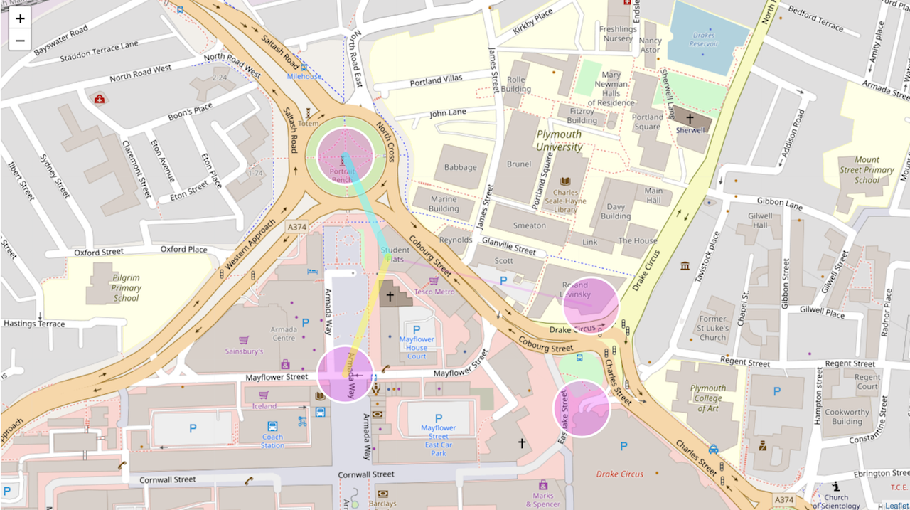
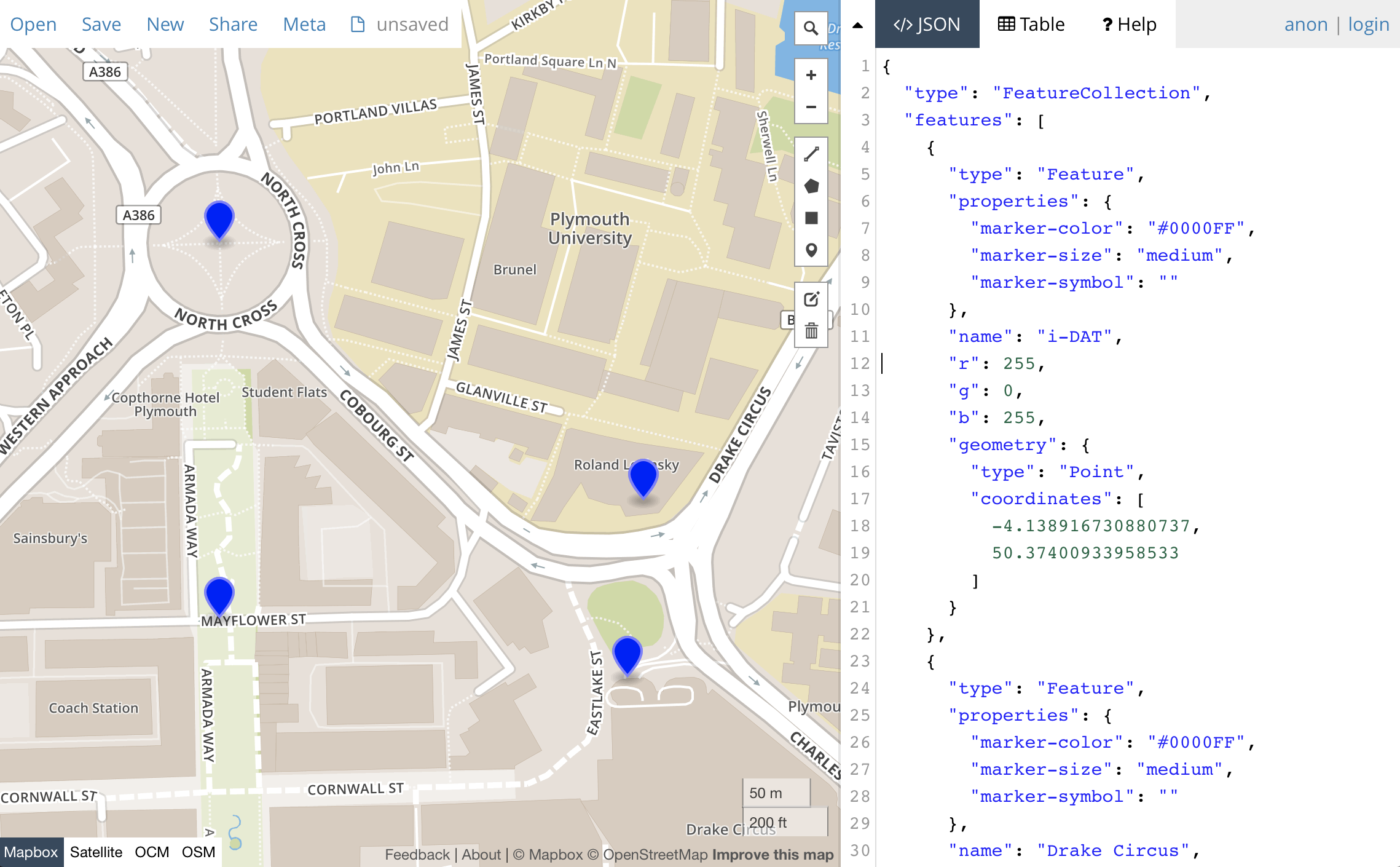
To easily develop a GeoJSON file, the website geojson.io offers options for creating, viewing, and sharing maps using the GeoJSON data format, amongst others (such as GPX, CSV, and so on). The picture below demonstrates how the selected map points are translated to GeoJSON format, which can be saved in a file and used in our project.
Mappa, Leaflet, P5
Mappa is a library to facilitate work between the canvas element and existing map libraries and APIs. It provides a set of tools for working with static maps, interactive tile maps and geo-data among other tools useful when building geolocation-based visual representations.
To access the properties of the library, make sure that you include it in your project (in this example it is in the libraries folder). Mappa provides access to a range of other location API systems. Here, we will be using Leaflet.js
The following example uses the Mappa and Leaflet map systems to visualize on an interactive map the data stored in the GeoJSON file we created. In addition, we are using the P5.js library to create additional interactions with this information.
To execute the code, it is recommended that you use Atom. Add the project folder on Atom, and use Atom Live Server, under the Packages. If you don’t have Atom Live Server, make sure that you install it as a dependency. Starting the server, the following screen will appear on your web browser: